![]()
Uptime
![]()
Uptime
Just 4 steps.
 Just four easy steps to an instant quote. Tell us where you want to collect aerial data, what you need and when you need it by. We will calculate your quote and email it to you right away.
Once the quote fits your needs and your budget, click the "Launch My Mission" button and provide your preferred billing method. Our flight coordinators will launch our aircraft and email the completed data wherever you choose. From HD video, to high-resolution maps to Fovea Aero Vision virtual reality, it really is that easy!
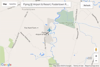
Step 1: Where?
Click on the map below to add points around the area you would like imaged. You can use the search box to find any location you like and switch between map view and satellite view.